OpenArt Logo
Sign in

Sajjad - SAM

Sajjad - SAM

Subject description:

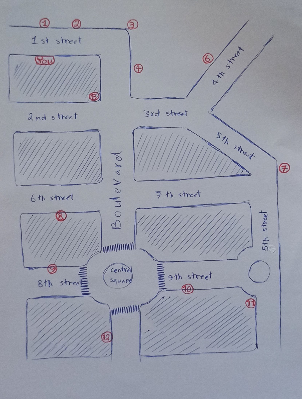
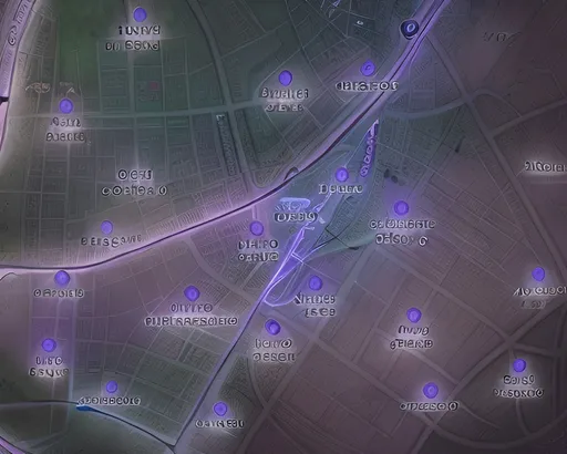
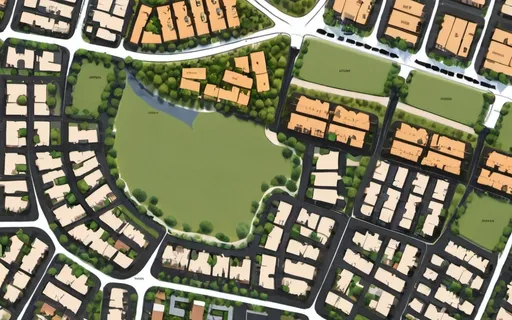
A map of a town، replace crosshatched parts with buildings and greenery, red numbers with actual...Show more
Made by: Sketch to image
Subject Description: A map of a town، replace crosshatched parts with buildings and greenery, red numbers with actual places like restaurant, bank and hospital, and what says "You" with a person. Name the streets however you like and put street signs on the map as well
Style: Default
Width: 512
Height: 704
Seed: 1275103909
Original image

Create your first image using OpenArt.

With over 100+ models and styles to choose from, you can create stunning images.

More images like this
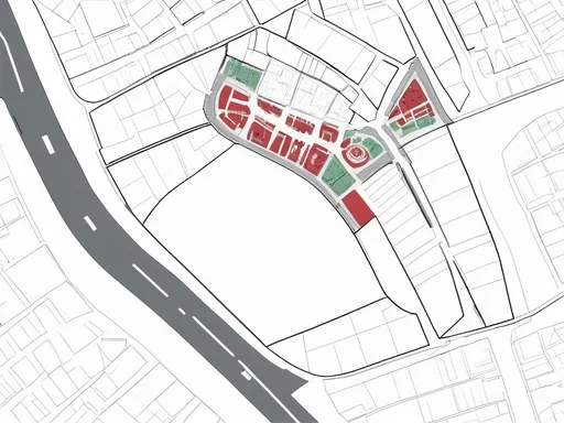
Prompt: (sophisticated site plan), "Eliava Bazaar", Tbilisi, Georgia, 17 hectares area marked in red, embracing OMA architectural style, modern layout, meticulous details, incorporating mechanical parts, construction materials, and marketplaces, urban landscape, organized spaces, green areas, high-quality presentation, practical and innovative design, cinematic perspective, vibrant colors, dynamic ambiance, visually engaging composition, ultra-detailed elements, HD.
Prompt: an image that represents de geocoding process. The geocoding process is like extract geographic coordinates from an adress.
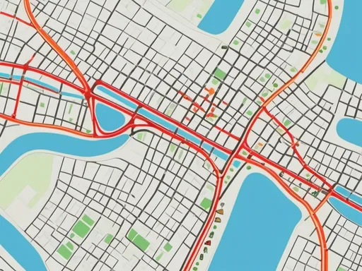
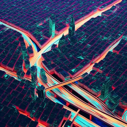
Prompt: Traffic congestion map in gis style
Prompt:
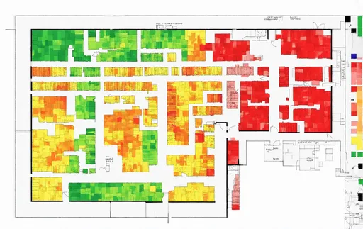
Prompt: Generate organic heatmap of a large floor plan, likely representing occupancy, network coverage, or similar metrics across different rooms and areas in a building. The floor plan includes several rooms with varying degrees of color intensity, where:

    Green areas might indicate low activity, low usage, or strong coverage, depending on the map's purpose.
    Yellow and orange areas seem to indicate moderate levels of activity or weaker coverage.
    Red or darker orange areas could represent high activity, congestion, or the weakest coverage.

The rooms are separated by walls, with corridors or common spaces connecting them. The heatmap is distributed unevenly, which could reflect how resources (such as seating, occupancy, or wireless signals) are being used or distributed throughout the building.

This type of image is commonly used for facilities management, network planning, or occupancy studies.

DISTINCT ZONES - MEETING ROOMS AND WORK PLACES. VERY VERY DETAILED.
Prompt: François Schuiten, Christo Surreal, mysterious, bizarre, fantastical, fantasy, Sci-fi, Japanese anime, anatomical map of Tokyo Metropolis, beautiful girl, urban planning diagram, perspective drawing, blueprint, red brick Tokyo Station, Tokyo Tower, bird's eye view, looking up, structural drawing, cross-sectional view, subway three-dimensional route map space, detailed masterpiece, depth of field cinematic lighting
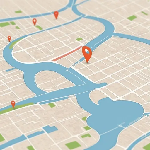
Prompt: a map of a city with a red marker on it and a red marker on the map of the city, Art & Language, regionalism, zoomed out, a screenshot
Prompt: Design a general map and aerial photo of a 15-minute neighborhood on this land and place uses suitable for a sustainable neighborhood to a corner where the walking path is a maximum of 15 minutes and affordable housing is also included in this neighborhood. be
Prompt: <mymodel>, Glitch-Art style, Video glitching, city skyline, winding roads, traffic lights, traffic