OpenArt Logo
Sign in

Chan

Chan

Model: OpenArt SDXL

Prompt:

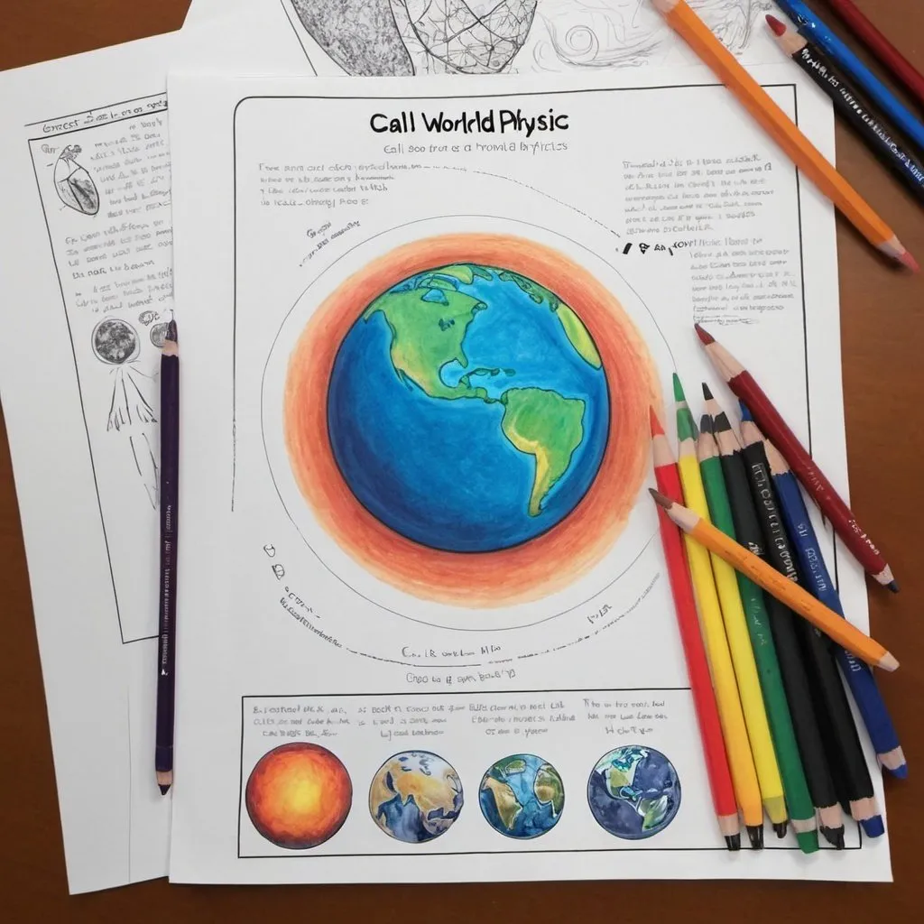
Draw a color poster to show the content of the book call A World Beyond Physics
Width: 1024
Height: 1024
Scale: 7
Steps: 25
Seed: 2039484706
Sampler: DPM++ 2M SDE Karras

Create your first image using OpenArt.

With over 100+ models and styles to choose from, you can create stunning images.
More images like this
Prompt: A little girl drawing on a piece of paper. She is drawing the earth with orbital rings around it. On the wall behind the girl there are scribbles of stars that she had drawn directly on the wall.
Prompt: Drawing of the Earth on a torn string notebook, Wimpykid style of painting
Prompt: Draw infinite earth
Prompt: <mymodel>Demonic cartoon planet in space
Prompt: Coloring page universal earthly
Prompt: Earth in centre with galaxy around with planets, moon and stars in a rendered sketch with pastel colours
Prompt: Make a comic's book about how the beautiful and careful and delicate and nature love and want to make peace Jews, will take this planet earth to allow everybody to elevate and take places in other stars and colonized it for everyone

Ch1 full text 
šŸ––
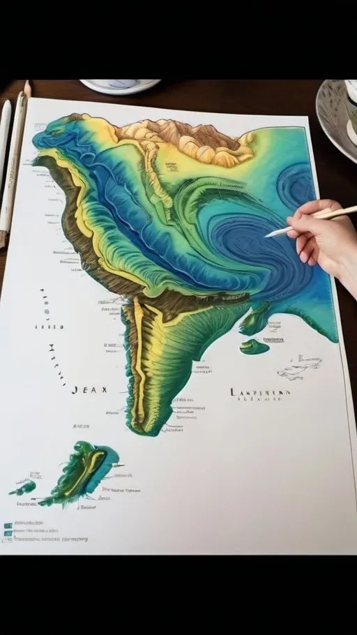
Prompt: The image depicts a detailed, hand-drawn topographical map of a fictional region. The map is vibrant, using a mix of greens, blues, yellows, and browns to represent different terrains and elevations. 

**Key Elements:**

1. **Geographical Features:**
   - Multiple islands are shown, surrounded by blue waters, with intricate coastlines.
   - The main landmass is varied, with areas of dense green indicating forests, yellow patches for plains, and blue for inland water bodies.

2. **Topography:**
   - The map includes contour lines to represent elevation changes, with labels indicating heights above and below sea level, ranging from 1000m to 2000m.
   - Mountainous regions are depicted with jagged, overlapping contour lines, while valleys and plains have smoother lines.

3. **Regions and Divisions:**
   - The landmass is divided into several distinct regions, each colored differently to signify various types of terrain and land use.
   - Detailed annotations describe these regions, with text pointing out specific areas and features.

4. **Settlements and Infrastructure:**
   - Various settlements are marked with clear labels, connected by a network of roads and pathways.
   - These pathways weave through different terrains, highlighting the map's varied landscape.

5. **Additional Details:**
   - The map features a large ocean along one edge, with a few islands near the mainland.
   - Water bodies, both coastal and inland, are detailed with shading and textural differences to indicate depth and movement.

6. **Artistic Style:**
   - The map has a whimsical, cartoonish style, with vibrant colors and imaginative representations of geographical features.
   - The handwriting and labels add a personal, handcrafted feel to the map, enhancing its charm and creativity.

Overall, the map is a rich, imaginative portrayal of a fictional region, combining detailed topographical elements with a playful artistic approach.