OpenArt Logo
Sign in

I

Its Just Azhaar UWU

Model: RongHua - Asian art

Prompt:

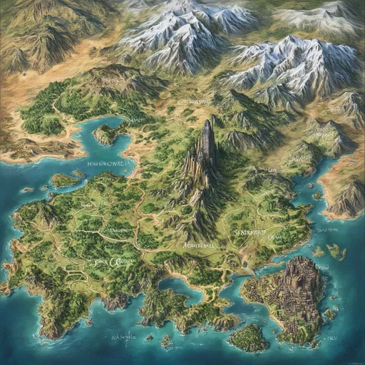
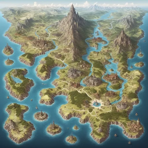
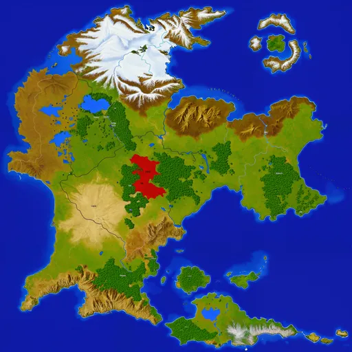
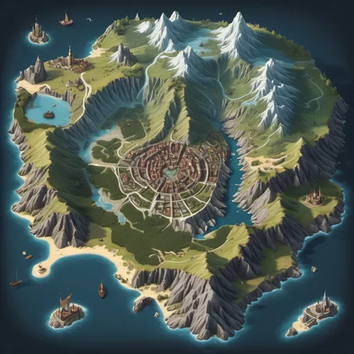
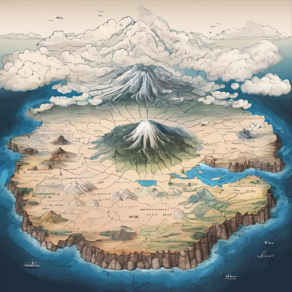
Draw me an old map with large and diverse areas, including an area full of forests, a very large...Show more
Scale: 7
Steps: 25
Seed: 785453385
Width: 1024
Height: 1024
Sampler: DPM++ 2M SDE Karras

Create your first image using OpenArt.

With over 100+ models and styles to choose from, you can create stunning images.

More images like this
Prompt: Create a fantasy-style geographical map of a place called Eldoria. The world is divided into 8 unique regions. First, Whisperwind Forest, a lush region filled with magical trees. Second, the Frostpeak Mountains, featuring towering, snow-covered peaks. Third, the dry and flat Sunscar Desert. Fourth, the Evergreen Plains, which are vast and filled with green grass. Fifth, Shadowmire Swamp, a magical swamp teeming with unseen mysteries. Sixth region is the Gearhold City-State, a massive city brimming with gears and intricate mechanisms. The seventh region is the Starlight Ocean, which hides an underwater city beneath its waves. Lastly, Arcanum City, a grand city highlighted by a central tower built from black monolith-style stone, soaring into the sky.
Prompt: Hyper-realistic map of a fantasy world
Prompt:
Prompt: (top-down map of a fantasy world), 2D, (highly detailed), 8K resolution, five small separate cities depicted: one (central) small city surrounded by mountains, one small perched on a (large hill), one small located at the (coast), one small with a large harbour, and one small nestled inside a (cave), make the citys small and separate int the large world
Prompt: Genera un mapa de fantasía en alta resolución, estilo señor de los anillos para D&D pero con un toque estilizado, ideal para impresión en tamaño póster. El mapa debe mostrar diversas regiones:
Montañas del Norte: una región en el noroeste con picos nevados, sombras realistas y asentamientos mineros.
Fiordos del Viento Helado: una costa recortada con profundos fiordos, acantilados y aguas turbulentas.
Tundra de los Gigantes: una vasta tundra helada con formaciones rocosas que parecen gigantes petrificados.
Bosque Boreal de Skogdrasil: un denso y antiguo bosque con árboles enormes, caminos místicos y una atmósfera mágica.
Isla Mágica de las Hadas: en la parte inferior izquierda, una isla encantada con bosques brillantes, cascadas flotantes, ruinas antiguas y un gran árbol sagrado, emanando luz y magia. Agrega ríos sinuosos, carreteras, ciudades y fronteras que dividan las regiones, con detalles topográficos, texturas naturales y sombras realistas para un acabado de alta calidad

Toma en cuenta que debe tener lo siguiente. 
Estilo: medieval con un toque estilizado, ideal para impresión en tamaño póster.
Resolución: Alta resolución (por ejemplo, 300 dpi, tamaño póster) para asegurar detalles nítidos.

Debes respetar todo lo que contiene la imagen original solo mejorando el mapa
Prompt: Draw me a map of Morantia, with mountain ranges and lakes. Divide geographically into 8 regions: Terranova, Ferrum Novum, Ignis Aeternus, Campi Aurei, Vermiculus Montes, Terra Lacuum, Silvae Copiae, and Argentum.
Prompt: aerial view at night, cloudy, tilt-shift, isometric miniature world, detailed landscape world render with tiny houses and boats, mountains with lakes, volcano erupting
Prompt: map of an island shaped like a european dragon