OpenArt Logo
Sign in

F

Federica Di Bianco

Model: OpenArt SDXL

Prompt:

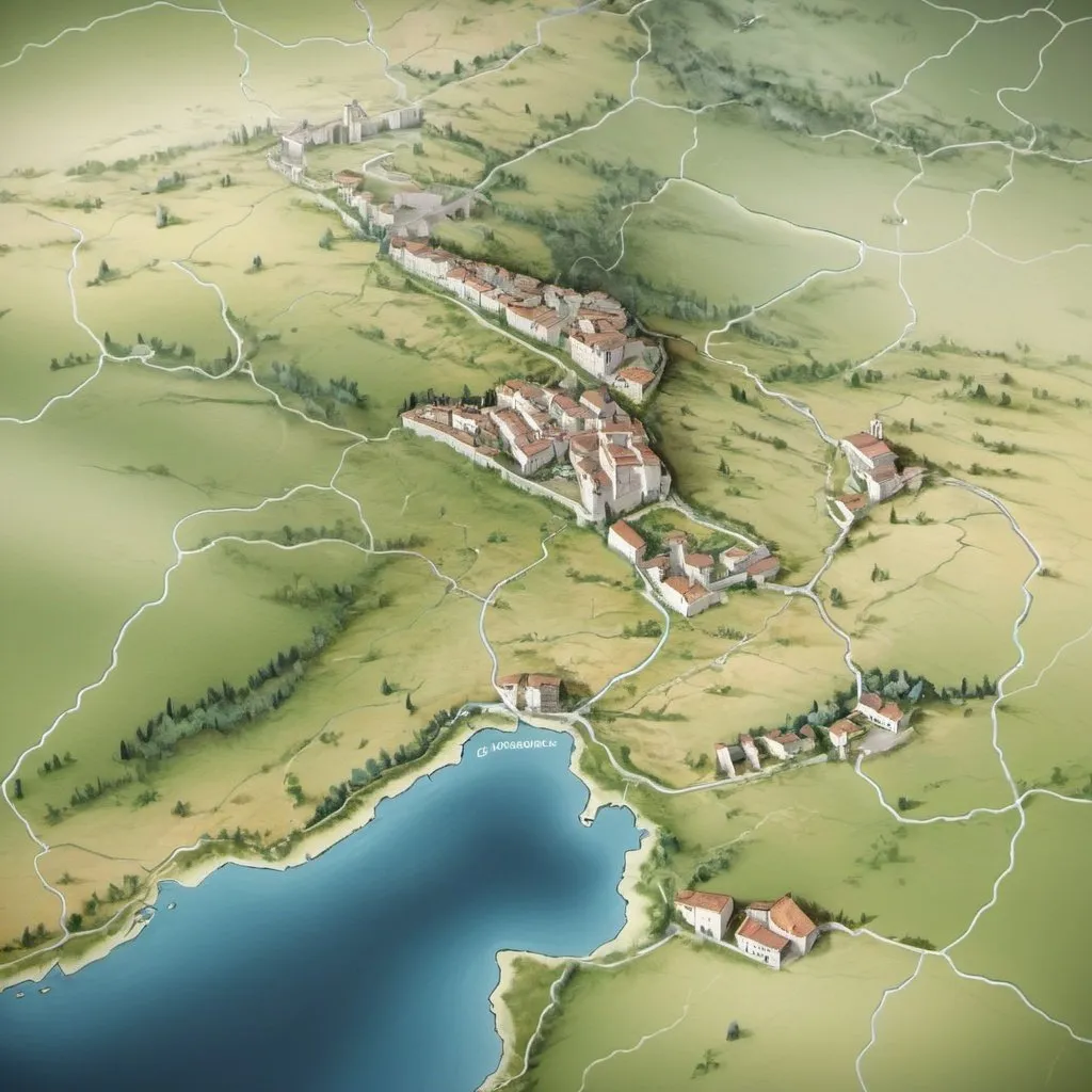
Create an accurate depiction of the Molise region.Integrate Mythical Elements: Include subtle ref...Show more
Scale: 7
Steps: 25
Seed: 1269019403
Width: 1024
Height: 1024
Sampler: DPM++ 2M SDE Karras

Create your first image using OpenArt.

With over 100+ models and styles to choose from, you can create stunning images.

More images like this
Prompt: Create a fantasy-style geographical map of a place called Eldoria. The world is divided into 8 unique regions. First, Whisperwind Forest, a lush region filled with magical trees. Second, the Frostpeak Mountains, featuring towering, snow-covered peaks. Third, the dry and flat Sunscar Desert. Fourth, the Evergreen Plains, which are vast and filled with green grass. Fifth, Shadowmire Swamp, a magical swamp teeming with unseen mysteries. Sixth region is the Gearhold City-State, a massive city brimming with gears and intricate mechanisms. The seventh region is the Starlight Ocean, which hides an underwater city beneath its waves. Lastly, Arcanum City, a grand city highlighted by a central tower built from black monolith-style stone, soaring into the sky.
Prompt: Mapa Suiça
Prompt: Configurar un mapa de rutas de intercambio de recursos como el sílex, cuarcita, marfil, ámbar variscita y obsidiana en las etapas culturales del Neolítico hasta el Calcolítico  (4000-2200 a.C)
Prompt: Map of Mesopotamian Civilization
An image illustrating the location of Mesopotamia (between the Tigris and Euphrates rivers) to provide geographical context.
Prompt: what nations make up one side of ww3
Prompt: iran Empire
Prompt: A 3D-rendered ancient map showing the location of Harappa and Mohenjo-Daro.
The camera zooms into these cities, revealing their structured layout.
Labels and subtle animations (glowing city names, river flow effects) enhance engagement.
Prompt: what nations make up second side of ww3